Product Ref: MAP32
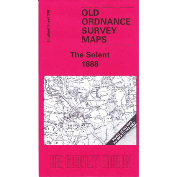
The Solent 1888
Click to zoom
Area Covered + Date: The Solent 1888
This map of the Solent region is essential for both local historians and genealogists. It includes a detailed map of Beulieu and extracts from the private residents listed in Kelly’s Directory along with an introduction written by Jude James.
Scale: 1” to 1 mile
The large scale plans of the Ordnance Survey are quite unique. In a clear and attractive manner they have portrayed our towns and villages in detail over the last 150+ years. They show not just the streets, but virtually every house; the complete track layouts of railways and tramways as well as factories, mills and docks.
The Godfrey Edition is a major undertaking to reprint these maps, in a conveniant and affordable form, for towns and cities throughout Britain and Ireland.