Alan Godfrey Historical Maps
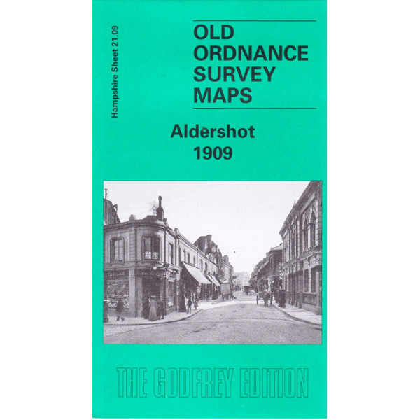
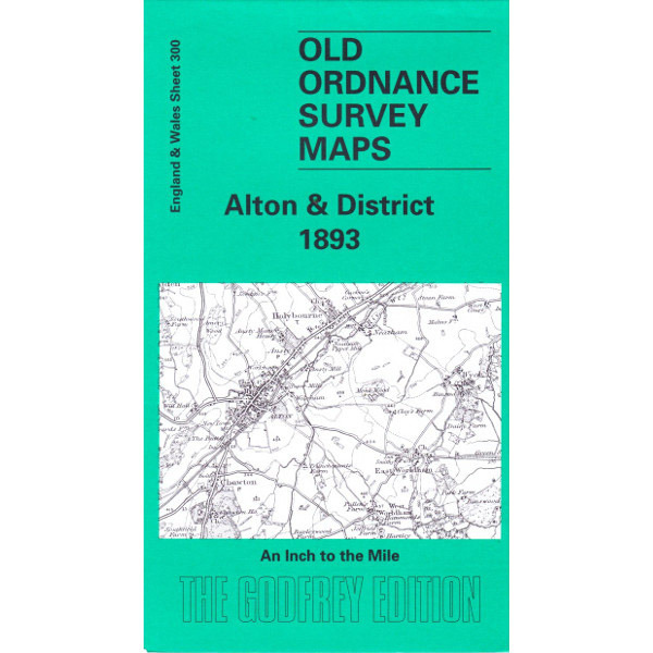
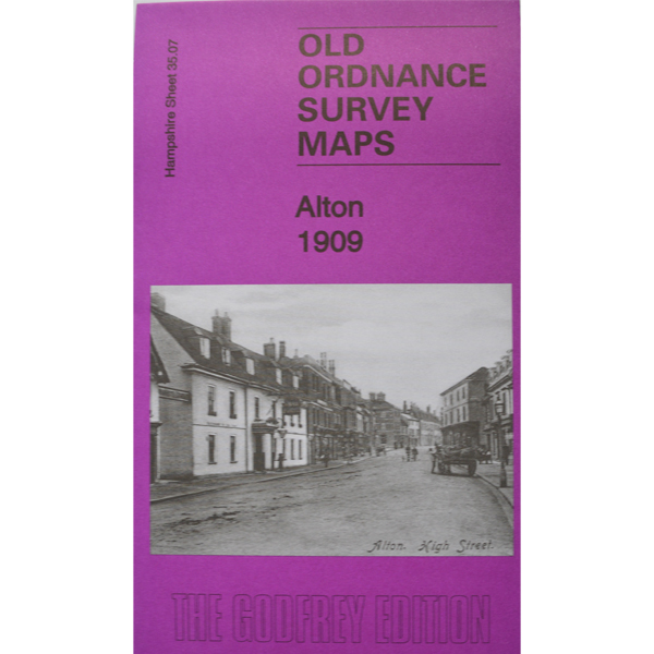
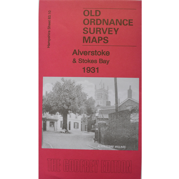
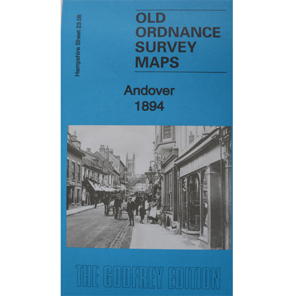
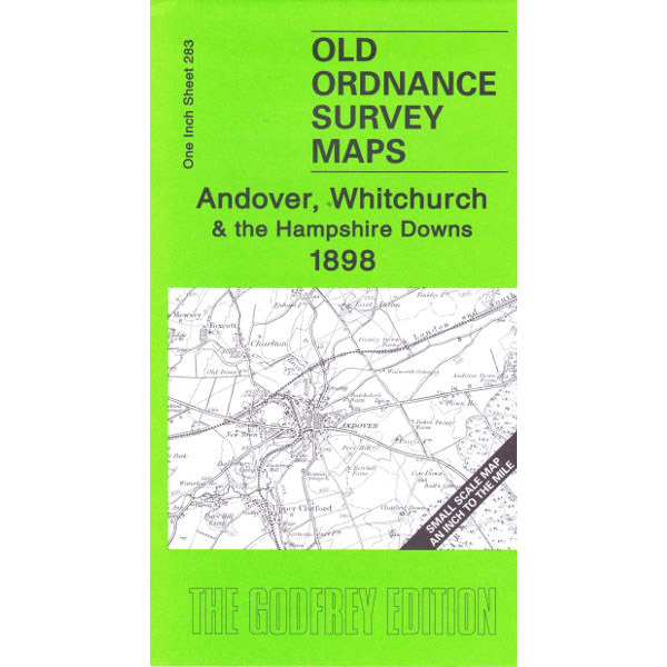
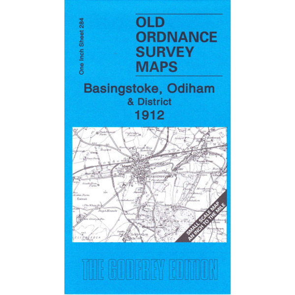
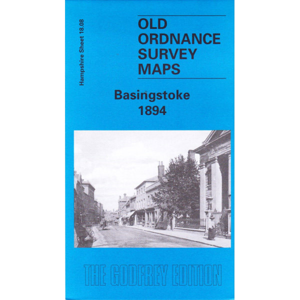
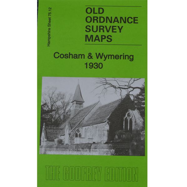
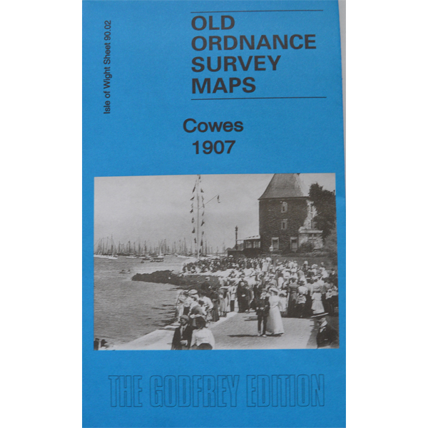
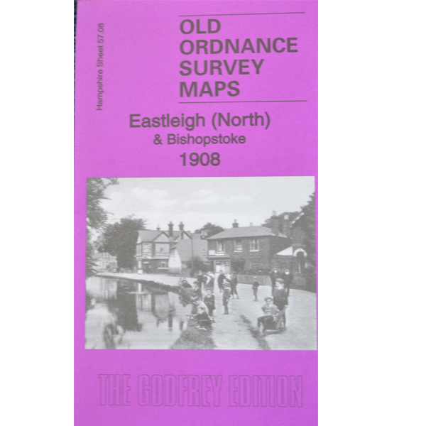
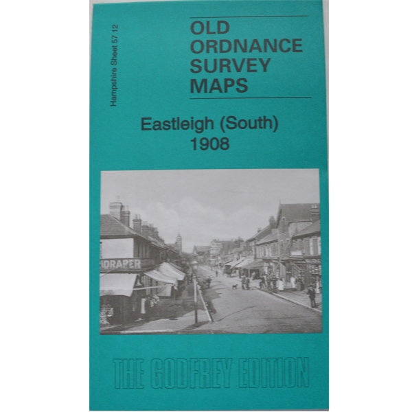
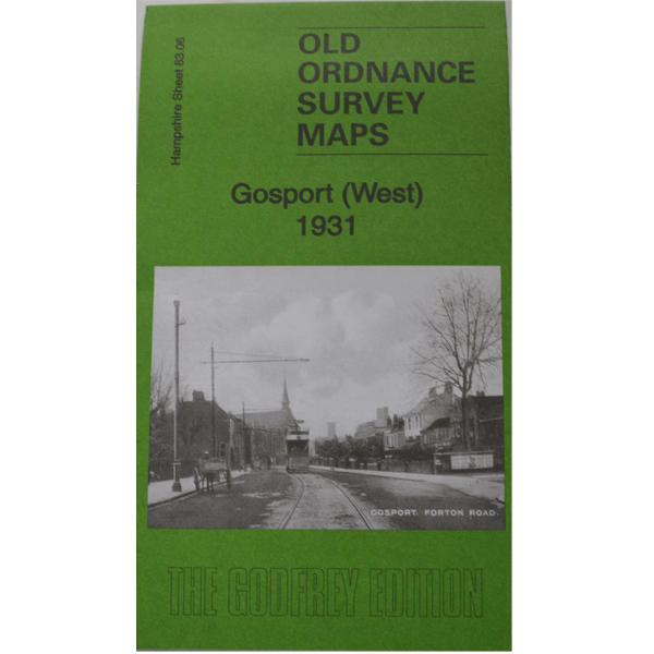
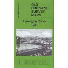
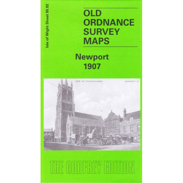
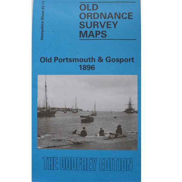
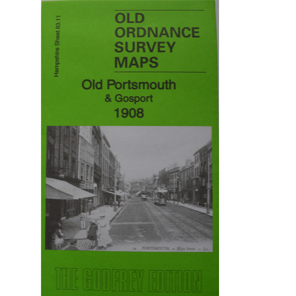
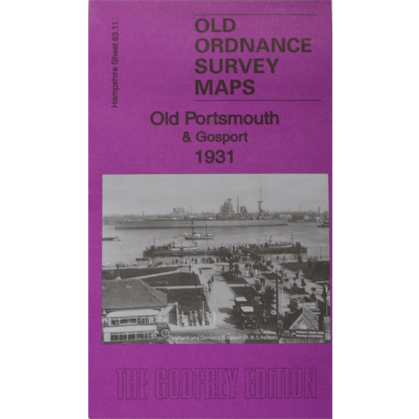
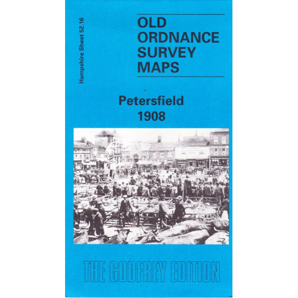
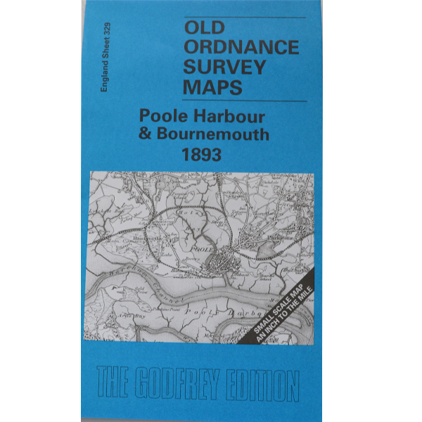
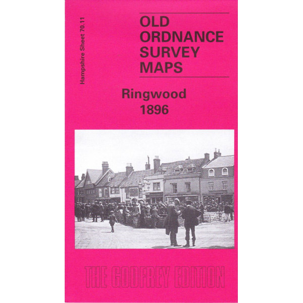
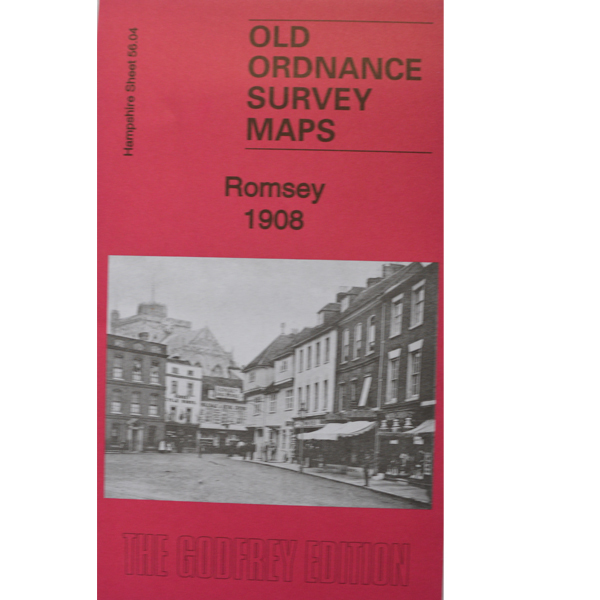
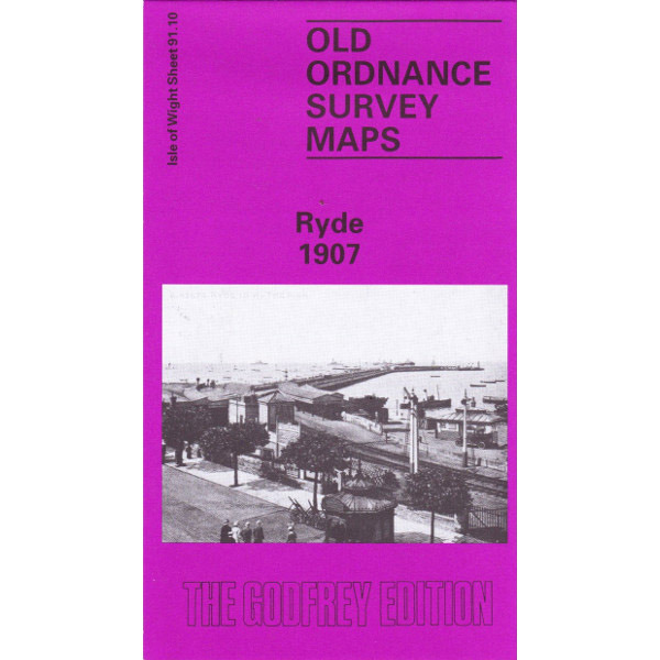
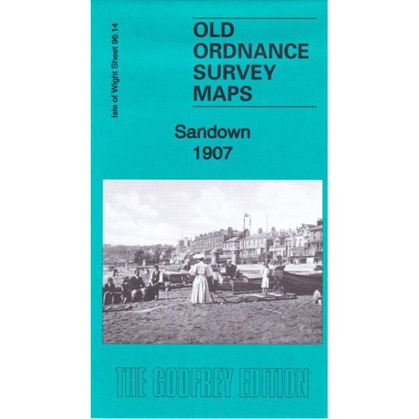
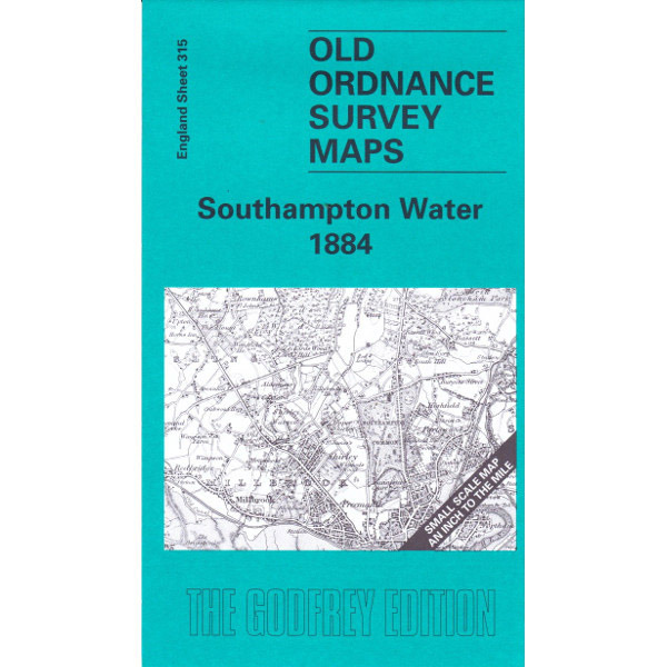
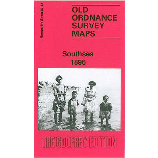
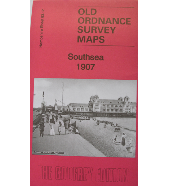
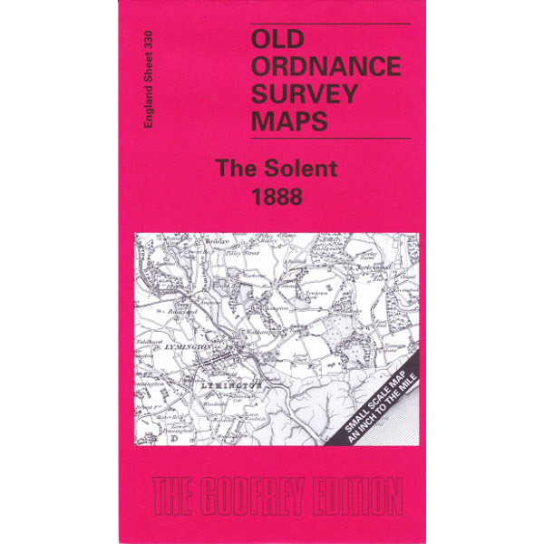
Alan Godfrey Maps are black and white reproductions of old Ordnance Survey maps. They are unique in showing towns and villages in great details, with individual buildings marked, as well as roads and railways, etc. They are a comprehensive records of where our forbears lived and, as such, are an invaluable resource for family historians.
The original scale of these maps was 1:2500, but they are reproduced in the Godfrey editions at about 1:4340 or 15 inches to mile. As well as the map, each publication includes a useful history of the area it covers, plus some additional entries from contemporary sources such as Kelly’s Directories which sometimes includes an extract of residents by name.
The range of maps we stock from the popular Alan Godfrey range has been increased to cover more areas of Hampshire (plus several for the Isle of Wight, which we have been asked for at several events). A total of 45 maps are listed for Hampshire, plus 7 covering parts of the Isle of Wight.
By clicking on the images below you will see a brief description for each map. ** Please note that we have many NEW maps in stock that are available to buy now!**
All the maps in this series are priced at £3.00 + postage & packing.
Post and Packaging is added automatically at the checkout in the website, depending on the shipment destination