
Product Ref: MAP-006
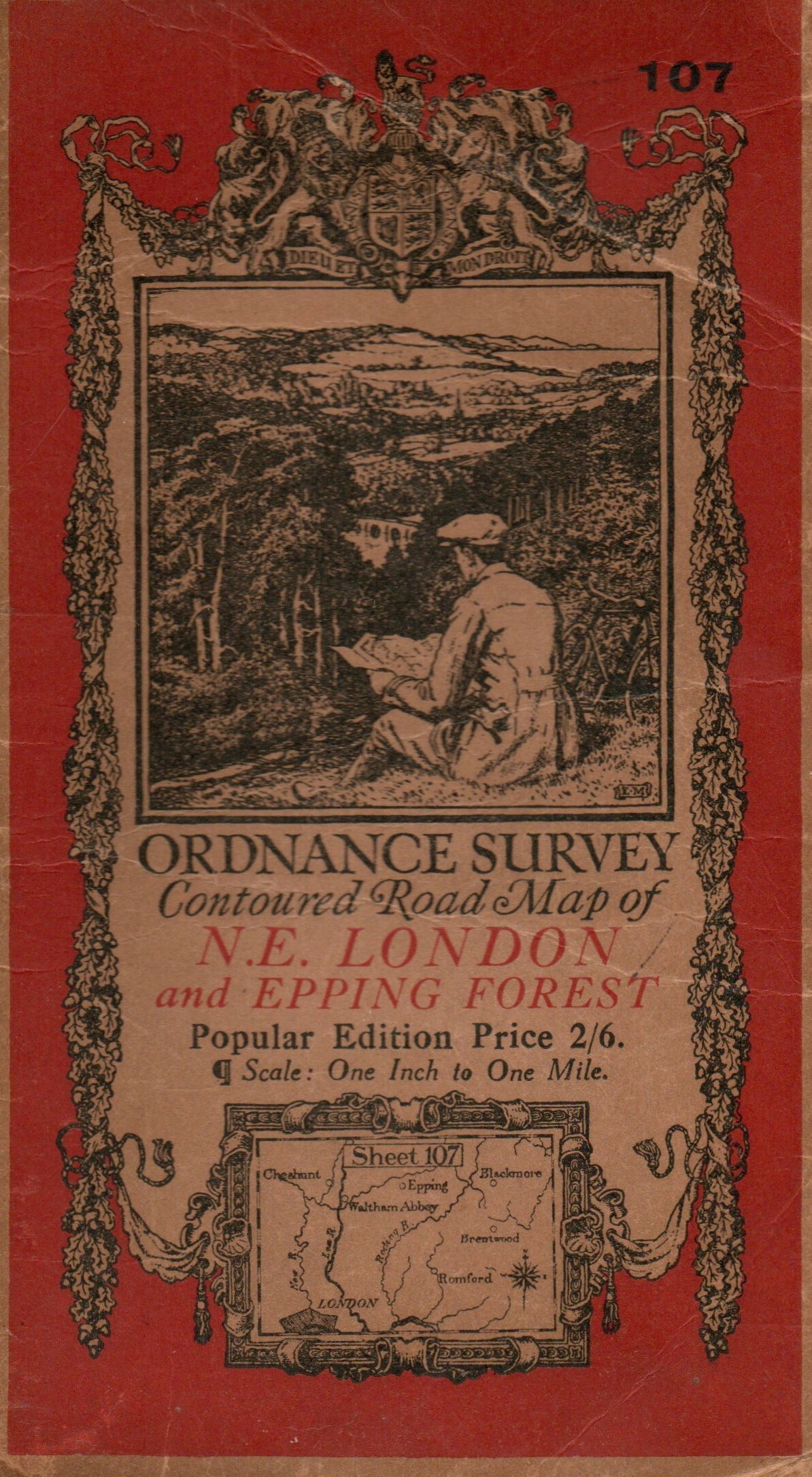
Ordnance Survey Contoured road map of N.E. LONDON and EPPING FOREST published 1920
Click to zoom
Ordnance Survey Contoured Road Map of N.E. London and Epping Forest is a fascinating historic map at a scale of one inch to one mile. Printed on cloth for durability, this edition was published in 1920, providing a detailed picture of Barnstable and Exmoor and the surrounding district in the early 20th century.
An excellent resource for family and local historians researching old roads, settlements and the changing landscape, as well as an appealing collectable for enthusiasts of historic Ordnance Survey mapping.
£5.00
Add to basketAdding...